
Come Fly with Us!
Join Alameda Aero Club and take to the skies with our community of passionate aviators.
About Us
Discover the East Bay’s friendliest flying club! Based at Oakland International’s North Field (KOAK), Alameda Aero Club is a non-profit, all-volunteer group passionate about making general aviation accessible.
- Access our well-maintained fleet 24/7 via easy online booking.
- Aircraft: Diamond DA40, Piper Arrow and Warrior II, and Cessna 172s, and more!
- Pursue your pilot dreams or earn additional ratings (Instrument, Commercial, CFI) with our experienced FAA-certified instructors.
We are run by members, for members! This volunteer spirit keeps costs down and makes us one of the most welcoming clubs around. We value members who pitch in.
Our Aircraft
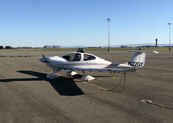
N22QT
2005 Diamond DA40
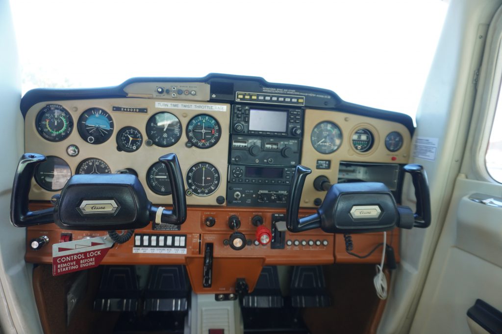
N49039
1977 Cessna 152
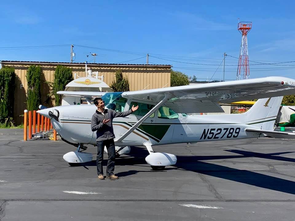
N52789
1981 Cessna 172P Skyhawk
Latest Blog Posts
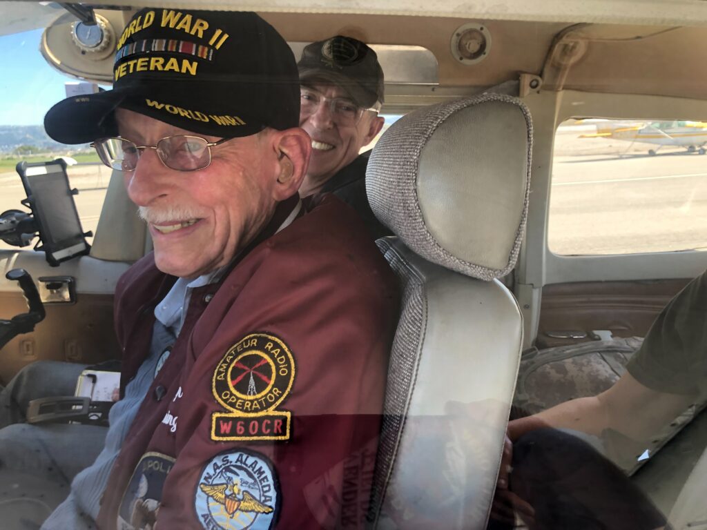
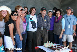
Quarterly gathering with Wally Johnson
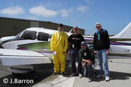
Two teenagers, a 60-hp Champ, and a 2100-mile journey
CFI Drew Kemp tells the story of flying a small plane across the country as a newly minted teenage pilot

New Instrument Pilot: Cody Nguyen
Instruction
Learn to Fly with Us
Our team of certified flight instructors (CFIs) are dedicated to helping you achieve your aviation goals, whether you are pursuing a private pilot certificate or building hours for a career as a pilot.
We offer instruction for:
- Private Pilot Certificate
- Instrument Rating
- Commercial Pilot Certificate
- Flight Reviews and Checkrides
- Specialized Training (e.g., mountain flying, etc.)
