Dave’s Phoenix Flight

Copyright © 2002 Dave Penney

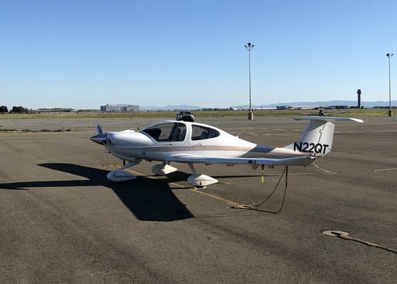
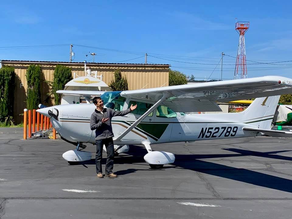
I went to Phoenix on March 20-21 to pick up a Cessna 152 taildragger for the club. Here’s how it went:

Getting Ready

I bought the current CG-18 WAC, which has both Oakland and Phoenix on it. I also picked up a Phoenix Terminal Area Chart and one for L.A. “just in case.” I already had current SFO charts and a green book (AFD), so I was all set.

I logged onto AirNav.com and used their aviation fuel trip planner to pick airports with the cheapest gas. Since I’d be flying westbound, I assumed I’d be doing about 80 knots, so I limited myself to 260 nm legs. (24 gallons, 6 GPH, 45 minute reserve.) With a trip distance of 600 nm, that made two stops. AirNav spit out about 8 ways to do it.

I chose the route that gave me the best combination of cheap gas and lowest terrain to cross. I punched this into my GPS and was ready to go, or so I thought. When I actually bothered to look at the WAC, I saw that AirNav had provided, and my GPS had accepted, a route that took me straight through the restricted airspace north of Edwards AFB. All this whiz-bang technology can get you in trouble if you don’t question it!
I Am Not a Terrorist – Really!

I hopped a Southwest down to Phoenix. The flight was pretty typical post-9/11 stuff. You could log it like this: Standing in various lines, getting searched, waiting for baggage: 4.2 hours. Sitting in a small seat with a bad view eating peanuts: 1.9 hours. We stopped in San Diego for 20 minutes, which made the flight less boring, but longer.

The couple selling the plane, Joyce and Clay, picked me up at the airport (Sky Harbor) and took me out to their airport (Deer Valley) to inspect the plane and test-hop it around the pattern. They’re really nice people and 36B is a sweet little airplane. Joyce was sorry to see it being sold, but they still have a Bonanza and a T-6, so they’ll get along somehow. By now it was pretty late, so they drove me to a motel, stopping at a mini mart along the way so I could grab a sandwich.

Valley to Valley

Clay had suggested I get an early start to avoid the worst of the heat. Remember, they named this city after a bird that caught fire! They picked me up at the motel at 6:30 am (5:30 to us left coasters). I’d managed to get up at 5:30, showered, drank some coffee, and got a weather briefing. Pleasant surprise: Instead of a headwind, I’d have a quartering tailwind and clear sailing all the way home!

I grabbed a couple bagels and cream cheese from the motel’s buffet, and Joyce gave me two bottles of water out of the fridge in their hanger. Now if I had to land in the middle of nowhere, I had survival rations. I also had my handheld radio, GPS, and a bandolier of batteries from Costco, so maybe I could talk my way out. I loaded up the plane, topped off the tanks, and took off at 0738 Mountain Time.

On the charts, southwest Arizona is green, but it’s not. The place is just about every shade of brown there is. All the flat land is thoroughly dotted with gnarly little shrubs, laced with dirt roads, and sliced by the occasional highway. There are dirt airstrips that are not on any chart. All around are spectacular jagged mountains and flat highlands cut with deep canyons. The cliff faces are banded with gaudy colors, brick red to chalk white. The morning light at my back made everything stand out vividly.

Since I was in a hurry to get going, I’d waited until I was in the air to file a flight plan. The guy at Prescott Radio dutifully took down my info – Deer Valley to OAK, fuel stops at Sun Valley and Delano, eight hours, one on board – and I gave him a PIREP – smooth air and good visibility at 6500 feet. I called Luke AFB approach for flight following, then settled back, munched on a bagel, flew the GPS, and admired the scenery.

The Sun Valley Airport in Bullhead City is a dusty little desert fly-in community with the houses on the east side and the public taxiway on the west. It’s on a bit of a slope, but not bad, and the pavement’s in good shape. There’s a gas island with a credit card pump and a little trailer nearby. The trailer has a pilot’s lounge at one end, and the rest is the house of Diane, the airport attendant. Diane loves to talk, so we shot the breeze while I gassed up the plane. Following Diane’s advice on noise abatement, I took off to the south and did a left 270 departure.

Chuck Yeager Slept Here

After leveling out on course, I spread out the chart and traced the course from Sun Valley to Delano. My finger passed through four restricted areas. Oops! I got to punching the keys on my GPS and added in the obligatory dogleg through Palmdale. Added 30 miles to that leg, maybe years to my flying career! Since I had the tailwind, the extra distance was no problemo. L. A. Center couldn’t give me flight following, but Joshua Approach picked me up as I neared Palmdale.

As I flew along, I just stared and stared at Edwards AFB and Rogers Dry Lake. Thought about all the legendary flights that had taken place there. The shuttle landings that still do. This, to a pilot, is as hallowed a piece of ground as Kitty Hawk.

My course out of Palmdale was more or less along Victor 197, but from 6500 feet, the Tehachapis were looking me right in the eye. I climbed up to 8500, then turned a bit west, towards the Grapevine. I wanted to stay above and upwind of the ridge as much as I could, riding my southerly tailwind, and to avoid as much as possible the rough stuff that would be on the north (leeward) side. My luck held, and I got through with only one good knock on the head, as if the ridge was telling me, “wait till next time!”

As I dropped into the San Joaquin Valley, the chart was more true to life: The ground really did turn from brown to green. I flew a lazy “S” curve northwest out of the pass, then northeast past Bakersfield, and finally northwest again to Delano, my next cheap gas stop. Unlike in the desert, the air in the valley was thick with haze. I managed to find the airport easily, thanks to the GPS.

The Big Valley

The airport was very quiet, with a general feeling in the air like everybody was out somewhere else, working. About half the planes on the field were crop dusters, but nothing was flying. I gassed up at another credit card self-serve. This one had a huge above-ground tank surrounded by thick steel posts that looked like they could take a direct hit from a semi. I wandered in to the airport building. Nobody home, but a half-full pot keeping warm on a Mr. Coffee. I got a soda from the machine and wandered around outside, working out the kinks. I called Flight Service on my cel phone to get an update on the weather. The winds aloft for both the Valley and the Bay Area were still southerly, getting stronger as you went up, so I decided to fly the last leg at 8500 feet.

I left Delano at noon headed towards Oakland. After a long easy cruise climb I leveled off above the haze and settled in to enjoy the scenery. I called Bakersfield Approach shortly after leaving Delano, then took handoffs to Lemoore, Stockton, Oakland Center, and finally, Bay Approach.

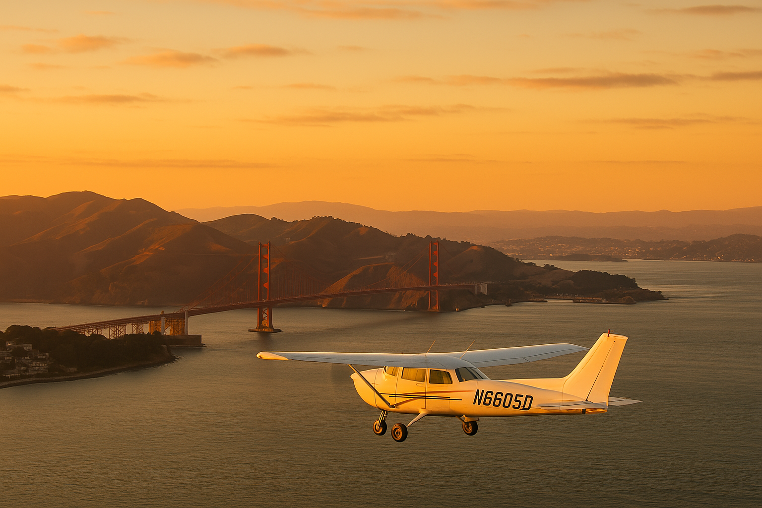
In the crystal clear air at 8500 feet, I could see Mount Diablo and Mount Tam ahead in the distance, rising above the haze. To my right, the snow-white peaks of the Sierras seemed to float in midair, running south to north for hundreds of miles. I slowly converged with, then crossed, Interstate 5. I looked down and felt a bit sorry for the drivers slogging along that monotonous freeway at a mere 75 MPH as I soared along at 130. The hills west of I-5 were still green on their north faces, but already turning brown on the south faces, making for a fascinating false shadow effect, even at midday.

Back In the ‘Hood

I skirted around Lick Observatory, then dropped back down into the haze under the SFO Class B airspace as Bay Approach vectored me under a couple airliners and set me up for a straight-in to runway 27R. A nice three-pointer just like Clay showed me how, off at taxiway echo, taxi to Kaiser, close the flight plan with Oakland Radio, and shut down at 2 pm.

The flight was adventurous, lucky, and fun. You could log it like this: Standing in lines, getting searched, waiting for baggage: 0.0 hours. Sitting in the driver’s seat with a great view: 6.3 hours. We stopped in Sun Valley for 30 minutes and Delano for 45 minutes, which allowed me to get out of the plane, walk around a bit, and get to know one more person and two more airports. Cessna airlines: the only way to fly!